Haryana Election GIS: Making information available on fingertips
The entire Haryana Election Geographic Information System (HEGIS) platform has been implemented purely with the support of government agencies and […]
The entire Haryana Election Geographic Information System (HEGIS) platform has been implemented purely with the support of government agencies and […]
The appointment of Chief Minister’s Good Governance Associates (CMGGA) in Haryana has reduced pendency of applications received on CM Window […]
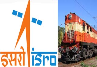
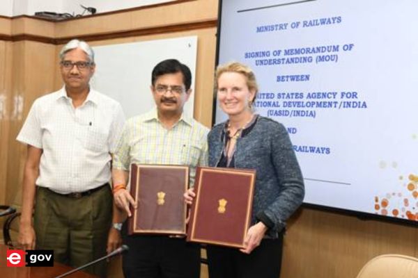
The Indian Railways has recently signed a memorandum of understanding (MoU) with the Indian Space Research Organisation (ISRO) for developing […]
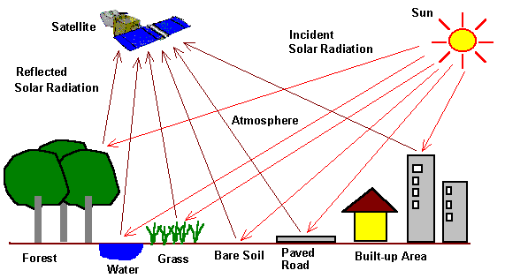
Remote sensing satellites should be used more efficiently for development in agriculture and rural and urban planning, says a Punjab […]

Railways Minister Suresh Prabhu has directed the Railway Board to explore the use of geo-spatial technologies to make unmanned level […]
Now, a Tribal map of India, is on the anvil to facilitate smooth implementation of different programs for the welfare […]
“We are taking many initiatives for promoting a spirit of science and technology in the rural and urban masses,” says Vinay Kumar […]
Santosh Kumar, State Informatics Officer National Informatics Centre (NIC), Bihar Shailesh Kumar Shrivastava, Technical Director, NIC, Bihar. iBhuGoal was started […]
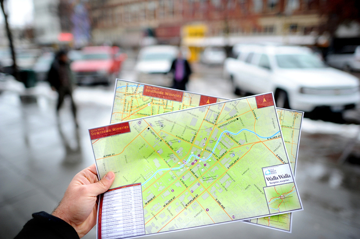
Considering the 57 lakh tourists that visit the holy city of Amritsar every year, the Punjab Tourism Department has launched […]
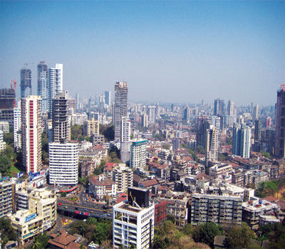
Challenges posed by growing urban population and resulting complexities are making Municipal Bodies increasingly turn to technology. Technology has become […]